Research
I combine remote sensing, field data, and public datasets to understand how ecosystems change over time and who is affected by that change. My work focuses on urban forests across California and coastal ecosystems.
Biodiversity & Ecosystem Services
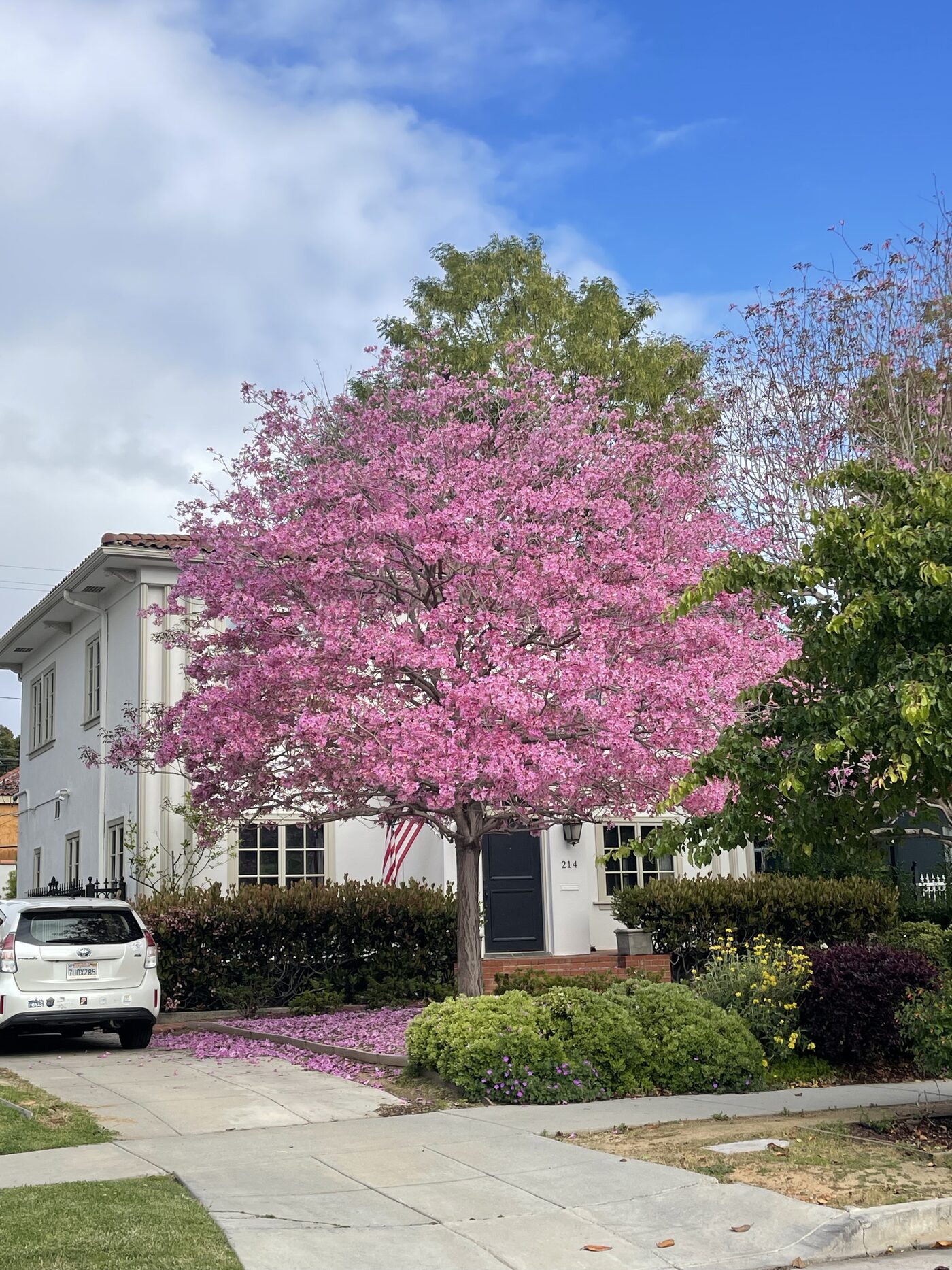
Urban tree composition and diversity shape what an urban forest can provide, from shade and cooling to habitat. I’ve studied the distribution of California’s canopy, where native trees occur in cities, and shown that streets with more diverse tree plantings tend to run cooler in summer. I’ve also studied kelp forests along the coast, another ecosystem that provides habitat and coastal protection and is changing quickly under climate stress.
Selected publications:
Rendon, P., Love, N., Pawlak, C., Yost, J., Ritter, M., & Doremus, J. (2024). Street tree diversity and urban heat. Urban Forestry & Urban Greening, 91, 128180. https://doi.org/10.1016/j.ufug.2023.128180
Pawlak, C. C., Love, N. L. R., et al. (2023). California’s native trees and their use in the urban forest. Urban Forestry & Urban Greening, 89, 128125. https://doi.org/10.1016/j.ufug.2023.128125
Love, N. L., Nguyen, V., Pawlak, C., et al. (2022). Diversity and structure in California’s urban forest. Urban Forestry & Urban Greening, 74, 127679. https://doi.org/10.1016/j.ufug.2022.127679
Cavanaugh, K. C., Cavanaugh, K. C., Pawlak, C. C., Bell, T. W., & Saccomanno, V. R. (2023). CubeSats show persistence of bull kelp refugia amidst a regional collapse in California. Remote Sensing of Environment, 290, 113521. https://doi.org/10.1016/j.rse.2023.113521
Remotely Sensed Change
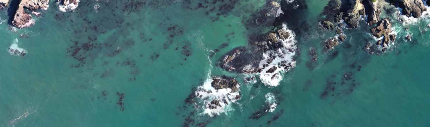
Much of my work is methods focused: using satellite, aerial, and drone imagery to track change at scales that are hard to capture on foot. For my dissertation, I built a statewide time series of California’s urban tree canopy and used it to measure canopy loss, tree removals, and recovery after the 2025 Eaton and Palisades fires. I’ve used similar approaches to detect individual trees from aerial imagery, and to track kelp and oil along the coast using satellites and drones.
Selected publications:
Pawlak, C. C., et al. (2026). Mapping California’s Urban Forest at Scale: An Error-Adjusted Canopy Time Series for Monitoring Change. Ecology. [Dissertation work, pre-print] https://doi.org/10.64898/2026.05.04.722774
Kenny, R., Johns, J., Pawlak, C., Fricker, A., Yost, J., & Ritter, M. (2026). Urban trees and structure loss in the 2025 Eaton and Palisades fires. Urban Forestry & Urban Greening, 121, 129470. https://doi.org/10.1016/j.ufug.2026.129470
Ventura, J., Pawlak, C., et al. (2024). Individual tree detection in large-scale urban environments using high-resolution multispectral imagery. International Journal of Applied Earth Observation and Geoinformation, 130, 103848. https://doi.org/10.1016/j.jag.2024.103848
Houskeeper, H. F., Rosenthal, I. S., Cavanaugh, K. C., Pawlak, C., et al. (2022). Automated satellite remote sensing of giant kelp at the Falkland Islands (Islas Malvinas). PLOS ONE, 17(1), e0257933. https://doi.org/10.1371/journal.pone.0257933
Human Well-Being & Equity
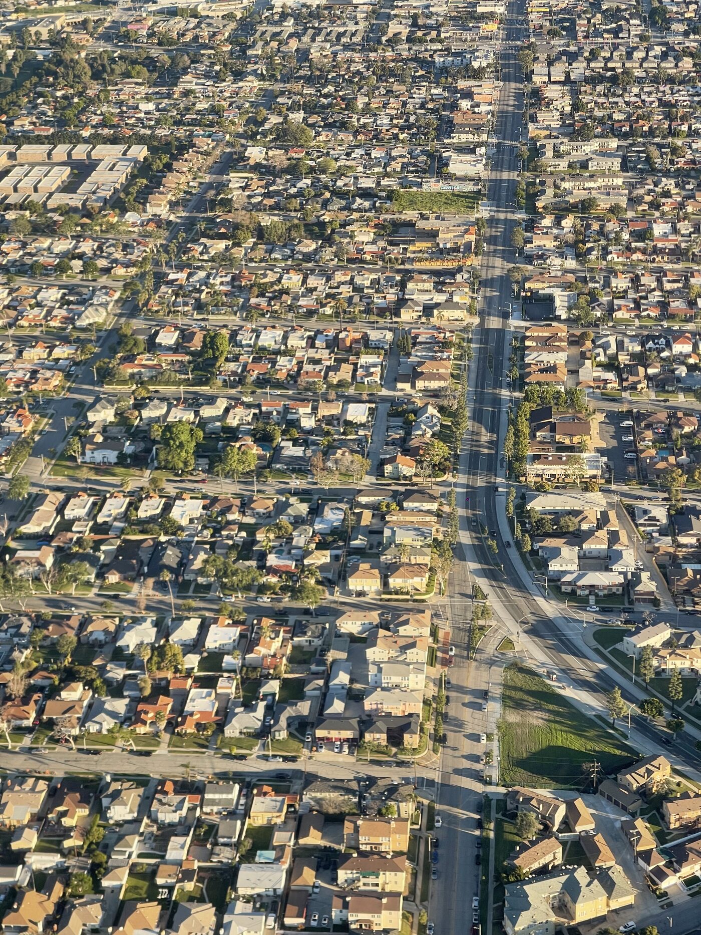
Mapping ecosystems is only half the question. The other half is who has access to the benefits they provide, from cleaner air to cooler streets. I’ve helped environmental justice indicators across California schools with students, and my ongoing work looks at how public versus private tree ownership shapes tree equity, and how urban forest composition affects air quality in Los Angeles neighborhoods. I’m also a contributing author on CAL FIRE’s statewide urban forest canopy plan.
Selected publications:
Vannucci, P. F., Kianmehr, A., Pawlak, C. C., Faiola, C. L., Wilson, J. P., & Berelson, W. M. (2025). The role of urban forest composition in modulating summertime air quality in Los Angeles. Science of The Total Environment, 1003, 180715. https://doi.org/10.1016/j.scitotenv.2025.180715
Baiza, J., Pawlak, C., Baehr, A., Yost, J., Ritter, M., & Fricker, A. (2022). Mapping Social and Environmental Justice Across California Schools (Version V4) [dataset]. Harvard Dataverse. https://doi.org/10.7910/DVN/7NNBJD
Love, N.L.R., Grady, E.L., Pawlak, C., et al. In prep. Patterns in the distribution of public vs. private urban trees: Implications for tree equity in one of the world’s largest urban forests. Target journal: Urban Forestry & Urban Greening.
CAL FIRE Urban and Community Forestry & Urban Forest Ecosystems Institute. (2026). Greening the Golden State: Urban Forest Canopy Plan for California [Draft strategic plan]. Named collaborator and contributing author.